
Local Access and Transport Areas Insight
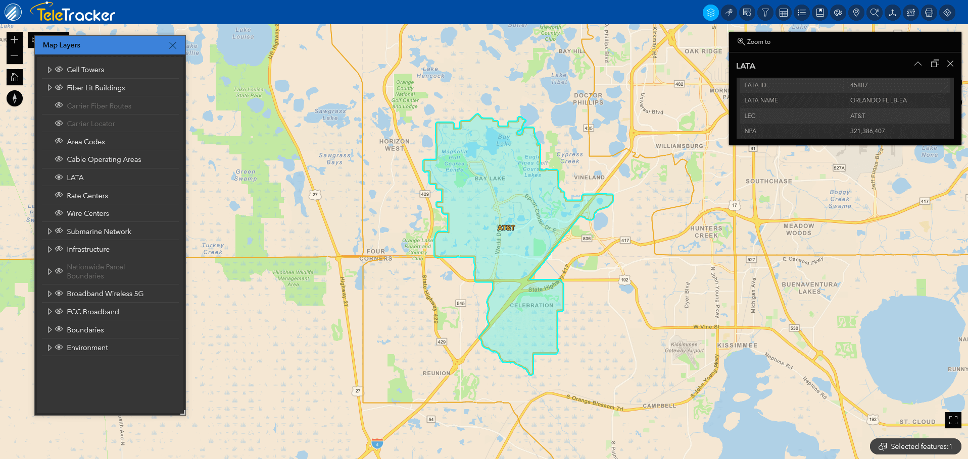
LATA Boundaries determine local, toll, and long-distance calling for phone companies. LATAs define when it is necessary to use a long-distance carrier. The FCC determines these boundaries. Each LATA generally contains multiple metropolitan areas.
")

How LATA Boundaries Are Used
LATA Boundaries play a pivotal role in telecommunications regulatory compliance. LATA Boundaries have been used to determine the hand off for long-distance carriers. This dataset provides valuable insights for market analysis, network planning, and regulatory compliance. Request a demo today to harness the power of LATA Boundaries in optimizing your telecommunications strategy.
Benefits of LATA Boundaries
-
Gain insights for strategic market analysis
-
Seek out underserved market areas and estimate potential customer numbers
-
Enhance network planning by leveraging LATA boundaries
-
Ensure adherence to telecommunications regulations
LATA Boundaries Available in GIS & SaaS


Interested in a Free Live Demo?
Experience firsthand how our comprehensive telecom datasets, advanced analytics, and user-friendly platforms can empower your business.