

Technically Speaking,
Central Office locations serve as the main hub for local exchange carriers. This dataset depicts detailed location information, telecommunication companies, and equipment hosted in these facilities. These locations house crucial telecom hubs and switches. This dataset is available for the entire United States or by specific licensed areas of interest.
How Central Offices Data Can Be Utilized
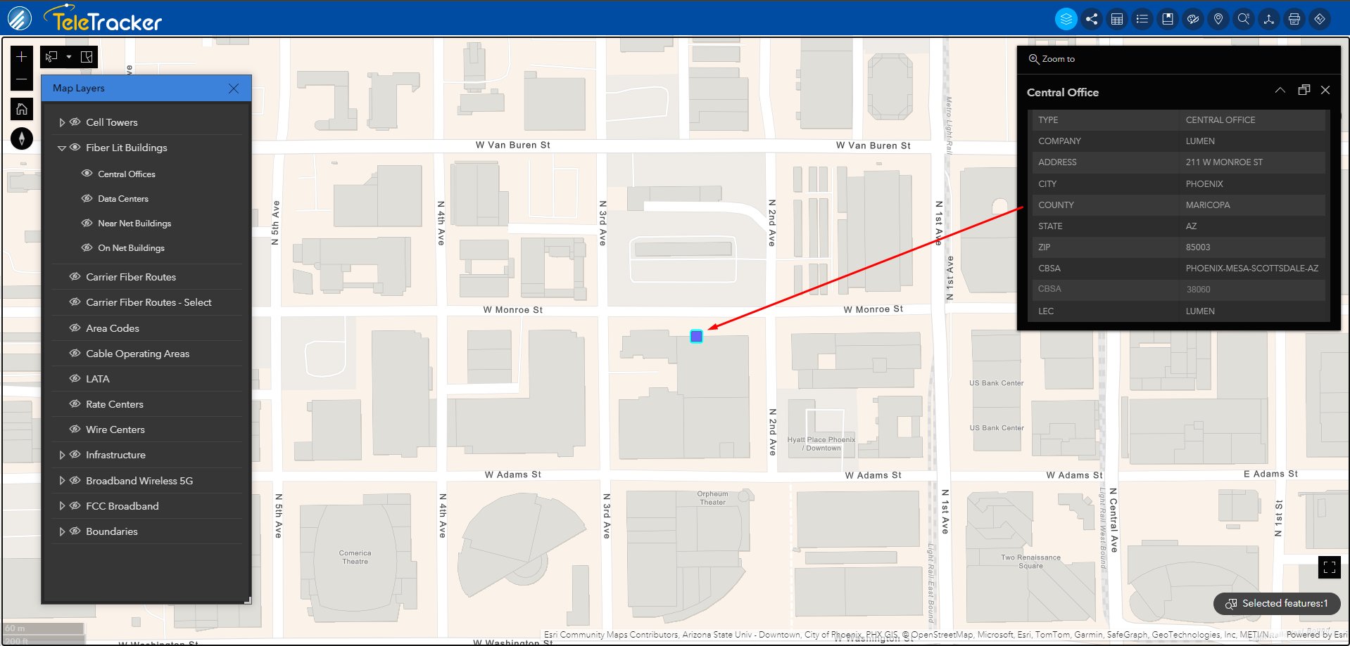
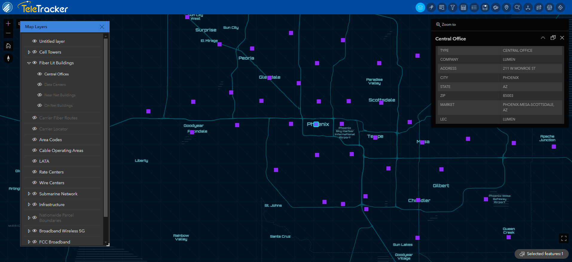
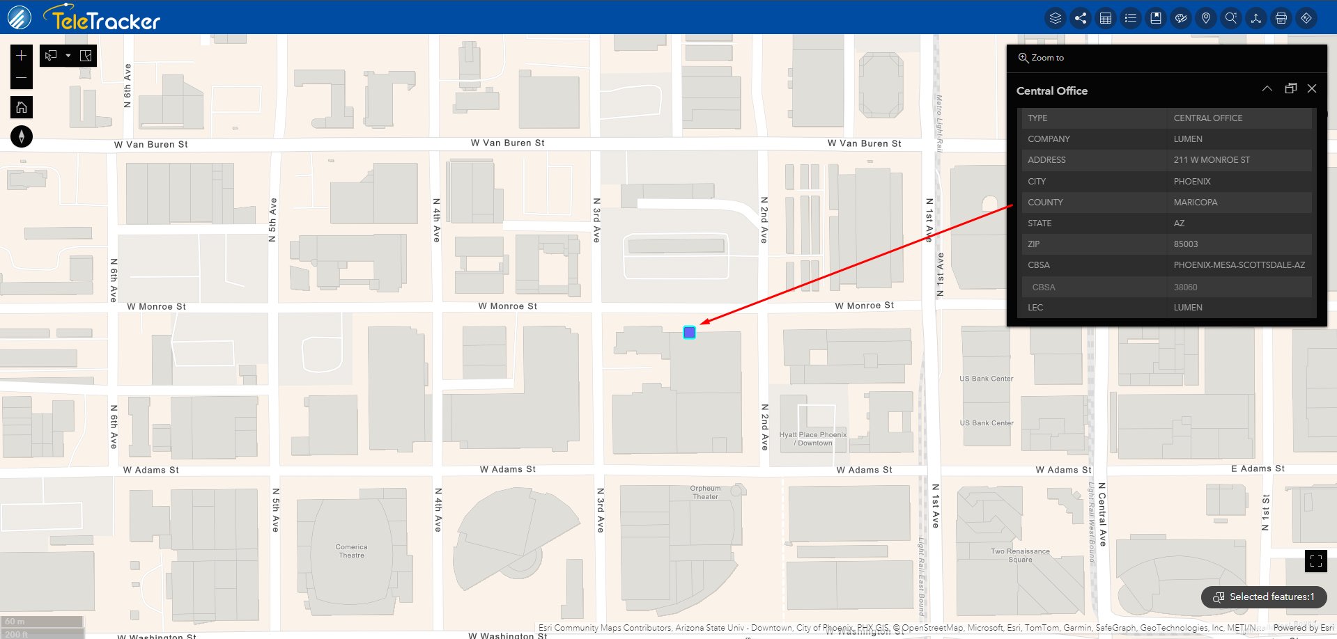
Clients accessing GeoTel’s Central Office dataset can view equipment types, locations, and operating company details. A typical central office connects to the network infrastructure, allowing carriers to track subscriber information. GeoTel clients can identify the telecom providers in a geographic service area.
Central Offices are pivotal in connecting users locally and across long distances. Our GIS Telecom Product provides comprehensive data on these crucial locations, including equipment details, and associated telecom companies. Accessing this data empowers users in network planning, competitive analysis, urban planning, and economic development.
Benefits of Central Offices
- Network Planning:
- Determine inter-connectivity, network hierarchy, and access gateway nodes
- Streamline network planning processes
- Competitive Analysis:
- Generate insights based on ILEC and CLEC indicators
- Facilitate informed decision-making in a competitive landscape
- Urban Planning and Economic Development:
- Disseminate network analysis for use in urban planning
- Support economic development initiatives through strategic insights
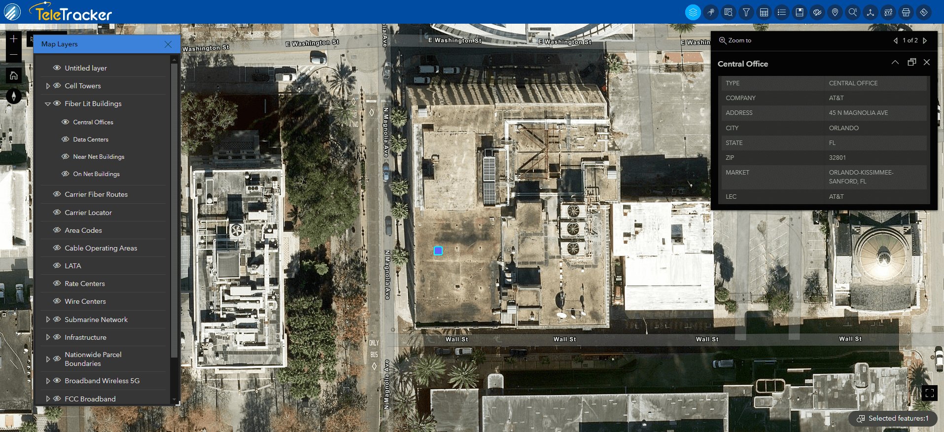
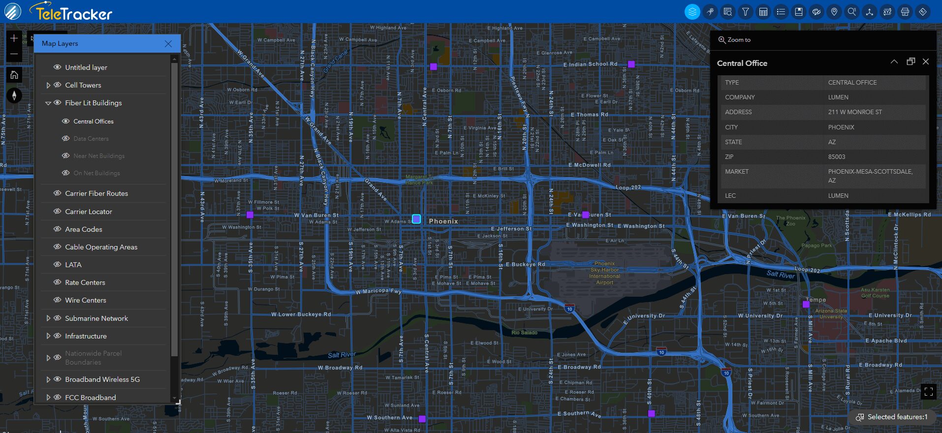
Central Office Locations in GIS and SaaS


Related Datasets
Layers that pair with Central Offices in GIS or in TeleTracker.

Wire Center Boundaries
The Wire Center Boundaries dataset consists of the basic unit of telecommunications geography and is the geographic area served by equipment within a Central Office.

LATA Boundaries
GeoTel’s Local Access Transport Area Boundary dataset provides information that determines which telecommunication companies can provide local and toll services within boundaries regulated by authorities.

Carrier Fiber Routes
GeoTel’s Carrier Fiber Routes dataset illustrates the fiber network with enhanced geospatial accuracy and the most up-to-date information.
Interested in a Free Live Demo?
Experience firsthand how our comprehensive telecom datasets, advanced analytics, and user-friendly platforms can empower your business.