

Dataset Stats

Carrier Routes Miles
5.9M+

Telecom Carriers
7.5k+

Fiber Lit Buildings
15.65M+

Fiber Lit Buildings (On Net)
12.2M+

Fiber Lit Buildings (Off Net)
3.4M+

Data Centers
8K+

Central Offices
23.5K
Cell Towers
535k+

5G Cell Towers
125k

Submarine Cables Mileage
802k+

Submarine Landings
1.2k+

Area Code Boundaries
375

Wire Center Boundaries
20K+
Test Your Speed

GIS Data

GeoTel clients can request their data in various formats to be implemented into their internal data repertoire. GeoTel’s data enables a deeper understanding of network layouts, coverage areas, and the interplay between geographical elements and telecommunications networks.
New and existing clients, click here to request the download of your GIS Telecom Data.
Fiber Map of Minneapolis, Minnesota

Latest News
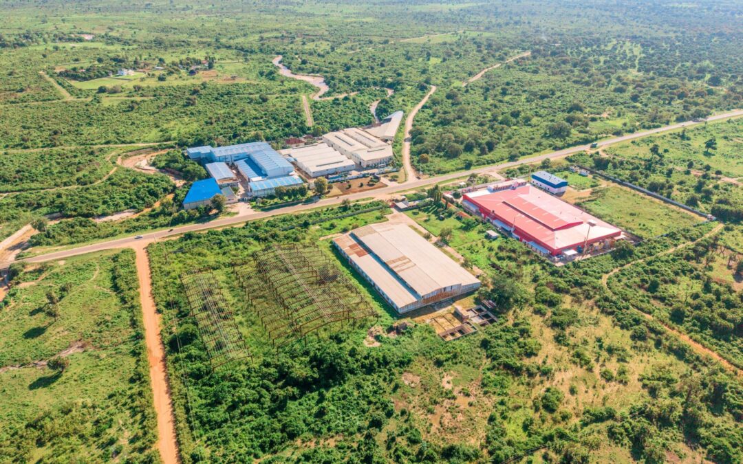
How Telecom Data Powers Smarter Data Center Site Selection
Where a data center is built decides almost everything about how well it runs. The right site delivers cheap power, fast fiber, and low risk; the wrong one locks in higher costs for decades. Telecom data is what lets a developer see those trade-offs before committing,...
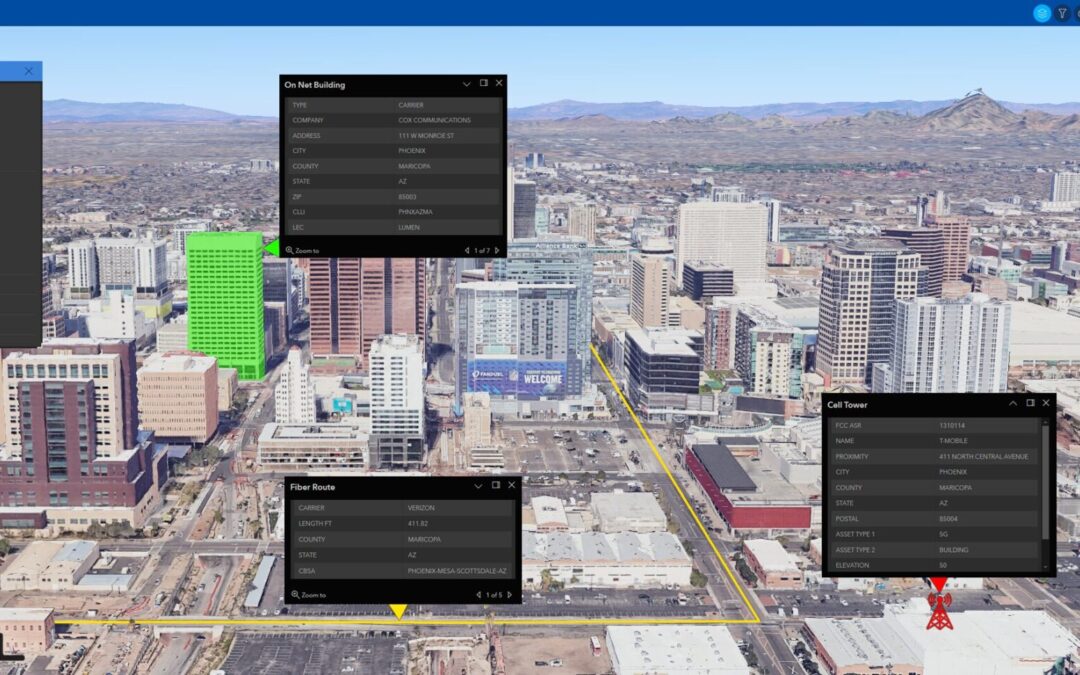
How Geospatial Software Powers Modern Telecommunications
The telecommunications industry is in high demand for accurate datasets that aren't solely sourced from artificial intelligence, since AI data isn’t 100% reliable. Instead, they need accurate data from trusted location-based intelligence that aligns with AI, APIs, and...
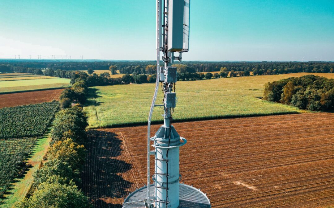
The Sierra Business Council Recognizes GeoTel as a Trusted Broadband Data Partner
GeoTel is proud to support the Sierra Business Council in its regional broadband initiatives as a trusted Broadband Data Partner. With support and data from GeoTel Communications, the Sierra Business Council had a positive impact on local Broadband Development...
Next Update Schedule
| Patch | Date | Detail |
| July 6th, 2026 | Quarter 3 GIS Deliveries | |
| August 15th, 2026 | AI TeleTracker Updates |
Upload Your Maps & Data
Are you a telecom provider that owns data centers or fiber networks? Share your maps or data with the GeoTel Engineers today!