

Know the Fiber Landscape
GeoTel is the single leading provider of fiber maps, telecommunications infrastructure data, data visualization, and location-based intelligence. GeoTel delivers the largest, most accurate, and most reliable geospatial databases available. These unparalleled and well-researched databases consist of more than 15 telecommunications datasets: including Fiber Maps, Fiber Lit Buildings, and Cell Towers. For over 23 years, GeoTel’s products and services have been providing businesses and government agencies with the powerful leverage and insight necessary to make intelligent, location-based decisions.
What Makes a Fiber Map Accurate
Not every fiber map is dependable. Free maps are rarely verified or updated, and their coverage is thin. Three things separate a fiber map you can plan against from one you cannot.
Precise terrain
Fiber has to be shown where it physically runs — from metro cores to suburbs to mountain corridors — so you can see each route in its real geography rather than as an abstract line.
Carrier information
Knowing a route exists matters far less than knowing whose it is. Every GeoTel route carries the carrier operating it, the route miles, and the network detail planners actually use.
Accuracy
Physical routes are geocoded to precise coordinates, which is what gives a fiber map spatial confidence at street level instead of an approximation.
A licensed database is also a maintained one. GeoTel fiber maps are continuously researched, verified, and updated, backed by support and GIS assistance, and sized for full national coverage rather than a handful of sample routes.
Three Ways to Access GeoTel Fiber Maps
Every organization works differently, so GeoTel delivers fiber maps in whichever format fits your team.
Telecom GIS data
Analysis-ready GIS layers for teams running their own spatial analysis and predictive modelling on infrastructure development.
TeleTracker
An online mapping platform available 24/7 with credentials, built for people who need to search fiber maps quickly without GIS expertise.
Professional services reports
A focused search around a specific address or business location, delivered within the same business day, with no annual license required.
Fiber routes are the base of every fiber map, but a complete picture also includes fiber lit buildings, cell tower locations, and broadband wireless coverage — each available as an addition to any GeoTel product.
Fiber Maps: Frequently Asked Questions
What is a fiber map?
A fiber map shows where carrier fiber physically runs, who operates each route, and what is connected to it, including fiber lit buildings, central offices and cell tower locations. GeoTel fiber maps combine those layers with precise geography so teams can plan networks, evaluate access and compare carriers in a single view.
Why buy fiber maps instead of using a free fiber map?
Free fiber maps are rarely verified, rarely updated and cover a fraction of the network. Licensed data is maintained on a schedule, backed by customer support and GIS assistance, and sized for national coverage. For decisions that commit capital, accuracy is the product.
How do I find fiber routes in my area?
You can search fiber maps three ways: license GIS data and run your own analysis, use the TeleTracker platform for on-demand lookups, or order a professional services report for a single address, which is typically delivered the same business day.
What makes one fiber map more accurate than another?
Three things: precise geographic terrain so routes appear where they physically run, carrier information attached to every route, and geocoding accurate enough to give spatial confidence at street level.
Can fiber maps include cell towers and wireless coverage?
Yes. Cell tower locations and the broadband wireless dataset pair with fiber maps to show both wired and wireless coverage. Any GeoTel dataset can be added to a fiber map product on request.
Products & Services
GeoTel has over 15 various telecom datasets in GIS format, Software as a Service (SaaS), and numerous types of professional services offered by in-house Geospatial Engineers.

Telecom Datasets
Telecommunications critical infrastructure data drives insightful business decisions backed by accurate location-based intelligence.
Learn More

TeleTracker (SaaS)
TeleTracker is a robust online subscription mapping platform featuring GeoTel’s 15 different telecommunications datasets.
Learn More

Professional Services
Comprehensive reports, GIS mapping, consulting, single fiber searches, and digitizing telecom data are just a few of the services we offer.
Learn More

Fiber Maps and Visualization
Carrier network information is researched and assimilated into a digital format. This information is viewable via enhanced visualization technologies.
Learn More

Share Data with GeoTel
Request GeoTel to add unique data and maps to its robust telecommunications infrastructure database.
Learn More

Request a Demo Now
Request a Demo
Trusted By






Awards


What Our Customers Say About Us

“GeoTel’s Telecom Infrastructure Data Is Unparalleled in Accuracy and Detail”
Partnering with GeoTel has significantly enhanced the value we offer our clients. GeoTel’s telecom infrastructure data is unparalleled in accuracy and detail, providing our customers with crucial insights into fiber optic networks and other telecom infrastructure. Our clients have used this data to make informed decisions about which networks best support their operations and expansion plans. The comprehensive mapping and data solutions not only streamline telecom planning but also help reduce costs and increase efficiency for businesses in need of reliable network connectivity. We are proud to work with GeoTel and highly recommend their services to anyone seeking a strategic advantage in telecom infrastructure planning and analysis.
Bas Jansen Venneboer – Managing Director, Local Eyes

“The responsiveness and support from GeoTel's team has been exceptional”
I love GeoTel’s product. No other tool matches its ability to find fiber providers, visualize fiber maps, and showcase infrastructure in such a clear and convenient way. It has been an invaluable asset for our projects, providing us with the best solution available. The responsiveness and support from GeoTel’s team has been exceptional, making them incredible partners to work with over the years. Their willingness to enhance our digital twin and provide access to their comprehensive services has made our experience with GeoTel truly exceptional. We are grateful to have such a reliable and valuable resource at our fingertips.”
Casey Evans – Senior Director, Orlando Economic Partnership

“GeoTel has reliably produced coverage polygons for millions of service locations for Inteserra clients.”
The FCC changed the reporting requirements for Broadband providers, Inteserra had dozens of clients who needed to decide which approach to take… Inteserra reached out to our colleagues at GeoTel to help us figure out how to help our clients… Their response was fast, reasonable, and flexible… GeoTel has reliably produced coverage polygons for millions of service locations for Inteserra clients. We are proud to recommend them and pleased with the results.
Connie Wightman – Co‐Founder, Inteserra, Inc.

“Their technical team has enabled us together to push the boundaries”
We are proud to be a technology partner with GeoTel, the industry leader in Telco data intelligence [and] cloud-based 3D Geospatial database infrastructure. The technical capabilities and creativity of their technical team have enabled us together to push the boundaries of the application of Digital Twin technology in the telco data industry, enabling GeoTel to deliver increasing insight and value to their customers. We are really excited about being part of GeoTel’s vision for future products and services based around what is now the most comprehensive 3D data-driven Digital Twin of the US Telco Infrastructure.
Mark Thomas – Founder & CEO, Nextspace

“GeoTel Has Been a Trusted Partner in Advancing Our Broadband Initiatives”
GeoTel has been a trusted partner in advancing our regional broadband initiatives. Their TeleTracker platform and comprehensive telecommunications data give us the tools to accurately map fiber routes, identify critical service gaps, and visualize existing infrastructure with confidence. By combining reliable GIS mapping with detailed broadband intelligence, GeoTel helps us make informed, data-driven investment decisions and develop effective regional broadband strategies. Beyond their technology, their team is professional, responsive, and has a deep understanding of the unique connectivity challenges facing rural communities.
— Kari Sinoff, Sierra Business Council
Latest News
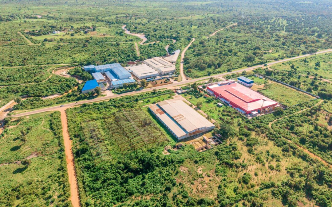
How Telecom Data Powers Smarter Data Center Site Selection
Where a data center is built decides almost everything about how well it runs. The right site...
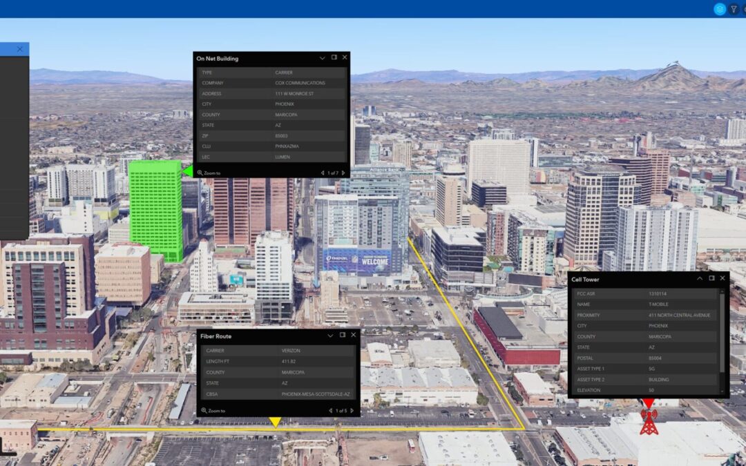
How Geospatial Software Powers Modern Telecommunications
The telecommunications industry is in high demand for accurate datasets that aren't solely sourced...
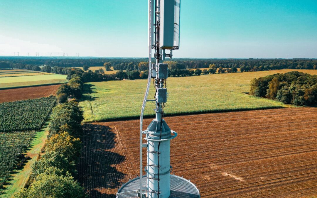
The Sierra Business Council Recognizes GeoTel as a Trusted Broadband Data Partner
GeoTel is proud to support the Sierra Business Council in its regional broadband initiatives as a...
Featured In


Interested in a
Free Live Demo?
Experience firsthand how our comprehensive telecom datasets, advanced analytics, and user-friendly platforms can empower your business.