Whether you’re troubleshooting a dropped call or planning a network expansion, understanding which cell towers are near you and what they can support is vital. Let’s break down how professionals use accurate location data to make intelligent decisions and why their proximity matters.
Introduction: The Real Question Behind Search
You’re in the middle of an important phone call, and after talking to yourself for 5 minutes, you finally realize that the call has dropped. Or your team is evaluating a new office location and absolutely needs to know whether cellular coverage will support daily operations. Maybe you’re a network planner trying to determine where infrastructure gaps exist across an entire metro market. In every one of these scenarios, the same question drives the decision: what cell towers are near me, and what can they support? The phrase “cell towers near me” gets searched thousands of times a day — by consumers, enterprises, government agencies, and telecom professionals alike. But the answers most people find are at best surface-level. A pin on a map is a start. It’s not a strategy. GeoTel’s cell tower location data goes far beyond basic mapping, giving professionals the spatial intelligence they need to move from questions to confident decisions.
Why Knowing Cell Towers Near Me Goes Beyond Signal Bars
The need to locate cell towers isn’t one-size-fits-all. Depending on who’s asking — and why — the stakes and required depth of data are completely different.
- Consumers: When users search for “cell towers near me”, they’re often looking for nearby infrastructure from major carriers like AT&T, Verizon, or T-Mobile. If you’re experiencing poor coverage at home or in the office, identifying the nearest tower helps you understand where to focus.
- Businesses and enterprises: Tower data directly informs site selection, real estate decisions, connectivity assessments, and operational reliability planning. Before signing a lease, knowing whether a building sits in a strong coverage zone or a flat spot between carriers can significantly save cost and time. GeoTel assists businesses in analyzing carrier infrastructure data nationwide through advanced telecom mapping and intelligence solutions.
- Network planners and telecom engineers: Tower location data is the foundation of site surveys, coverage analysis, carrier outreach, and infrastructure expansion strategies. Basic carrier coverage maps show estimated reach; they don’t show what’s deployed, where, and at what capacity.
- Government agencies: Accurate tower mapping supports network design, broadband gap analysis, and infrastructure grant planning at the federal, state, and local levels.
One major complication: carriers aren’t legally required to disclose tower locations, and the FCC only mandates registration of towers over 200 feet tall — leaving a significant portion of the network undocumented in public databases. The FCC’s Broadband Data Collection map provides a useful public baseline, but professional datasets offer far greater attribute depth, accuracy, and update frequency. This is precisely why comprehensive, professionally maintained third-party data sources are essential for anyone who needs reliable, complete coverage intelligence.
What Professional Cell Tower Data Actually Includes
Professional-grade data tells a much richer story. GeoTel’s telecom datasets include cell tower locations across more than 500,000 U.S. sites, spanning multiple tower types, including 5G and small-cell deployments.
With this level of detail, teams can:
- Check the closest cellular asset to any site or address
- Review nearby towers across an entire market at once
- Classify infrastructure gaps across different housing areas
- Correlate tower data with 5G small cell layers, carrier fiber routes, and data center locations for an end-to-end infrastructure representation
Pairing cell tower data with complementary layers, carrier fiber backhaul routes, data center locations, and broadband wireless coverage creates a complete view of infrastructure from route selection all the way down to address-level connectivity decisions.
Why Does Location Matter?
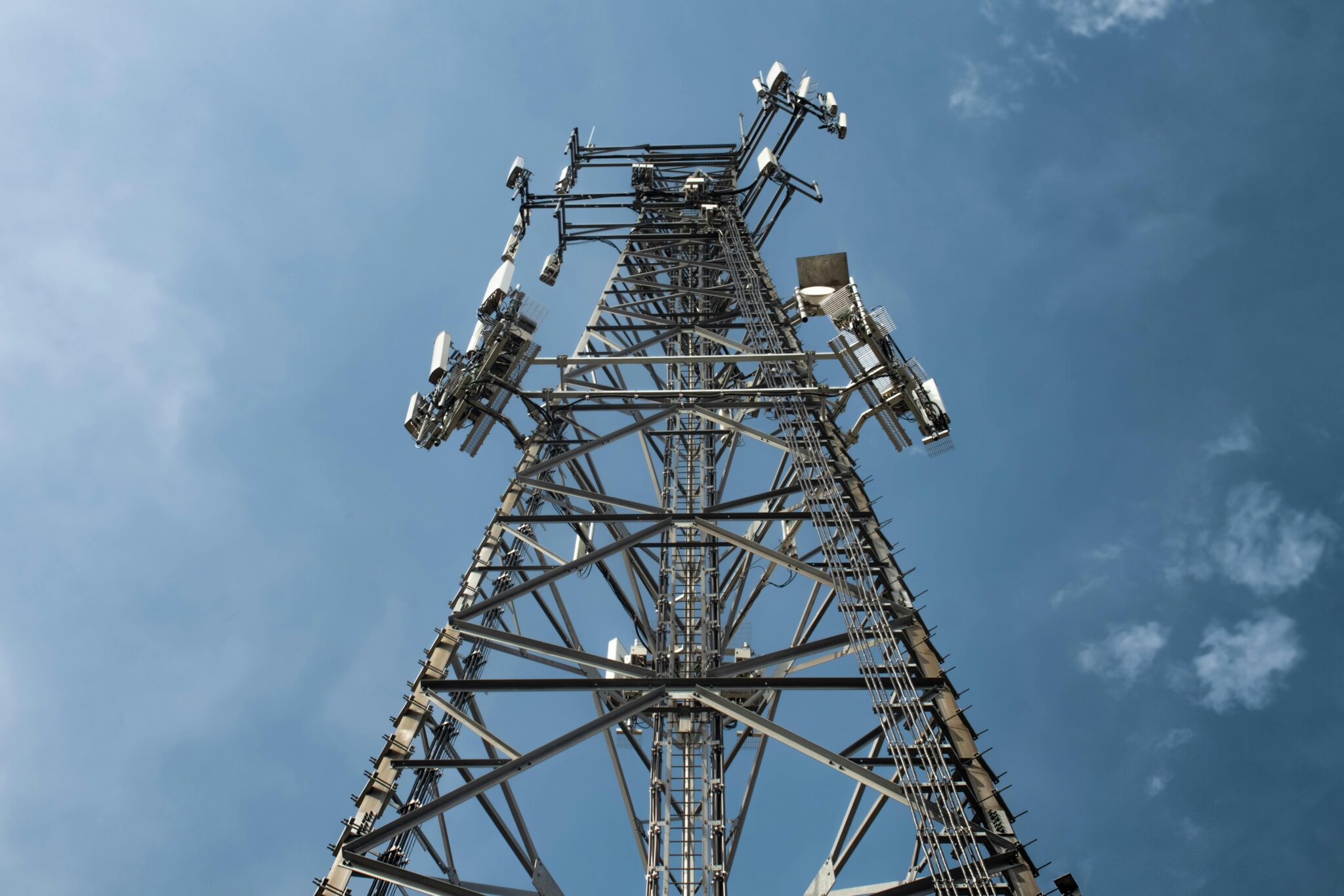
A cell tower is a fixed structure including antennas and electronic equipment that sends and receives radio signals to and from mobile devices. It serves as the local hub in the mobile network grid, connecting your device to the broader cellular network. A typical cell site is divided into three or four sectors, each equipped with multiple antennas providing coverage across roughly 90 to 120 degrees of the surrounding area.
How far that signal reaches varies dramatically based on the environment:
- Urban areas: Towers may cover only 1 mile or less, located densely to overcome buildings, traffic, and capacity constraints.
- Residential areas: Coverage typically ranges from 2 to 12 miles, depending on population density and terrain.
- Rural areas: A single tower can cover up to 25 miles or more under ideal conditions.
Beyond geography, weather, topography, frequency spectrum (low-band, mid-band, or high-band), and signal interference all shape real-world performance. Understanding these variables is what separates a quick coverage check from actionable infrastructure intelligence.
How GeoTel’s TeleTracker Makes It Actionable
Having the data is only half the equation. Acting on it efficiently across teams, markets, and project timelines requires a platform built for that purpose. That’s where GeoTel’s TeleTracker comes in!
TeleTracker is a cloud-based SaaS mapping application that brings GeoTel’s full telecom infrastructure database into an interactive, browser-accessible platform. No GIS software installation is required. Users log in, define their area of interest by address or location, select the Cell Tower Locations layer, and filter by tower type, including 5G and small cell assets. From there, teams can view tower attributes, use the Line-of-Sight tool, export map views for stakeholders, and track progress as projects move from desktop analysis to fieldwork.
Whether you’re a single analyst confirming site feasibility or a national team coordinating multi-market expansion, TeleTracker scales to the work, keeping everyone aligned to a single, authoritative source of infrastructure data.
Stop Guessing and Start Planning With Precision
Whether you’re a homeowner frustrated by blank zones or a network engineer planning coverage expansion across an entire region, finding and understanding cell towers near you requires more than a basic search. There’s a real difference between eyeballing a coverage map and working with precise, attribute-rich GIS data — one leaves you guessing, the other gives you answers you can act on. Ready to discover what’s near you? Request a free demo of GeoTel’s Cell Tower Location dataset and TeleTracker platform today and get the spatial intelligence your team needs to plan smarter, faster, and with greater precision.