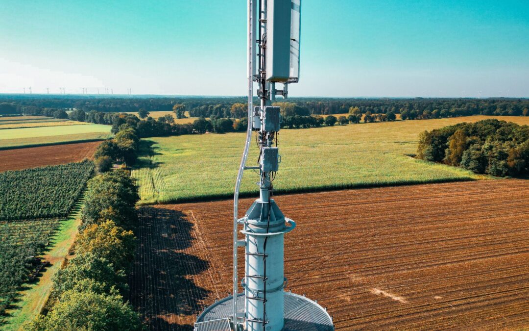
For years, Southeast Missouri had been looking for ways to attract businesses to the region, and they finally found the answer through fiber optics. With the help of AT&T, the city of Bonne Terre, Missouri will now be home to an 84-acre fiber-lit business park designated, AT&T Fiber Park.
County commissioners and business leaders from several Southeast Missouri counties including St. Francois, Madison, Ste. Genevieve and Iron said the fiber park would play an important role in bringing new business into the four-county area.
“All four counties have said ‘It doesn’t matter where it’s located. It’s for everybody,’” said Al Sullivan of the St. Francois County Industrial Development Authority on the Daily Journal Online. “Therefore, we all want to be a part of it.”
By working together, the counties attracted the attention of AT&T, who credited the cooperation between the counties as the reason they selected Bonne Terre for the fiber park. The AT&T Fiber Park Certification lets businesses know the area features the latest in fiber optic technology, which is vital for companies looking to compete in the global market.
“Telecommunications and having access to the Internet and the state-of-the-art communication services is critical for any business,” AT&T Missouri President John Sondag said. “I think we’ve given a great tool to the county to market that area, and I think it’s good for the community and the area.”
In addition to the fiber optics network, the park has also earned Ameren ELITE Industrial Park Certification and is listed on the Location One website, a nationwide economic development database.
When regions are looking for ways to attract new businesses, a fiber optic network serves as a major attraction. GeoTel Communications’ fiber optic maps and other telecom maps can help city officials, urban planners and business leaders construct and manage state-of-the-art fiber-optic networks in communities across the U.S. Call GeoTel Communications at (800) 277-2172 for a customized quote for our fiber network map or other GIS data set.