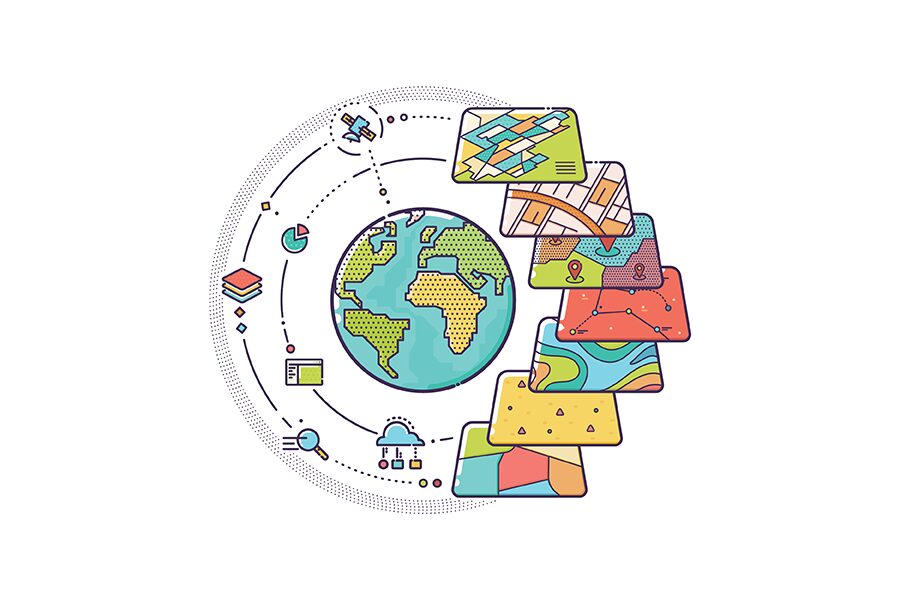
How Geospatial Software Powers Modern Telecommunications
The telecommunications industry is in high demand for accurate datasets that aren’t solely sourced from artificial intelligence, since AI data isn’t 100% reliable. Instead, they need accurate data from trusted […]
Learn More